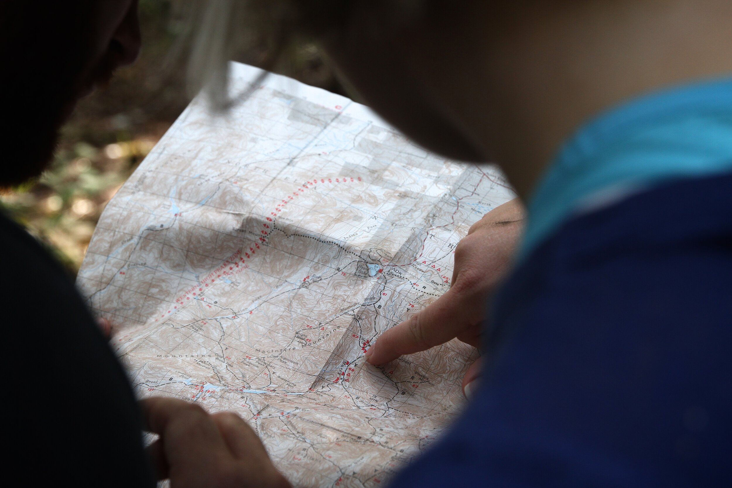
Maps
Traditional maps and 3-D "virtual globe" applications like Google Earth are invaluable tools for the protection, promotion and enhancement of our canyons and other natural open spaces. This page is intended as resource for community members to find the map they need or determine the kind of mapping their community group requires. You are welcome to review the maps below, then contact SDCL about how we might assist you or your community group. For more information about SDCL's Geographic Information Systems (GIS) resources, contact Will Anderson, SDCL Programs Manager, will@sdcanyonlands.org, (619) 518-6535.
Planning
Maps - Existing Canyon Conditions
See an example of one canyon's existing conditions maps, used in our Canyon Enhancement Planning program.
Educational
Tour - Chollas Creek Watershed
Watch our Google Earth Tour of San Diego's Chollas Creek watershed, used in our youth programs.
Informational & Reference
Maps - Parkland Dedication
See a list of informational packages (including maps) used in our City parkland/open space dedication campaign.
Tour - City Areas Proposed for Parkland Dedication
Watch our Google Earth Tour of San Diego's natural open spaces (City-owned) proposed for parkland/open space dedication.
Map - San Diego Watersheds (SanGIS, 2007)
See a 2007 map displaying locations of San Diego canyons and creeks, as well as many of its Friends Groups within San Diego’s Watersheds. The map also shows some San Diego City School Locations for nature classroom purposes.
Google Maps - Trailheads
See some of San Diego Canyon Trailheads. Colors group trailheads that are in the same watershed.
Maps - City Open Space Canyon Parkland (City of San Diego)
See a list of maps of City Open Space Parks and Canyon Parkland.
Interactive Mapping Websites
-
City of San Diego Official Maps of Open Space and Canyon Parklands
-
SanGIS Regional Economic Development Information System (REDI)
-
San Diego Association of Governments (SANDAG) - Map of Conserved Land in San Diego County


